Helping out at the Iracambi Atlantic Rainforest Research and Conservation Center with a project to map springs used by local farmers for drinking water, crops and livestock. These are drying out at an alarming rate, due to deforestation and climate change. We’re using a smartphone app to collect data in the field, including GPS coordinates, measurements of potential reforestation areas and fence lines used to exclude cattle, photos and video. The collected data will be used in an interactive web map to demonstrate the severity of the water shortage to the local government so that they may be persuaded to use their machinery to grade terraces for reforestation and dig rainwater infiltration pits in the hillsides.
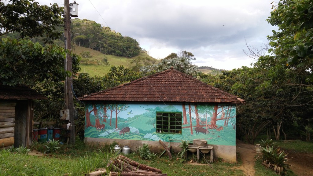
View of the kitchen on the main trail from the sleeping quarters.
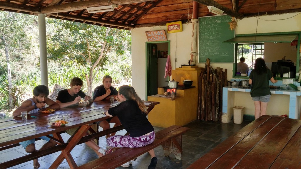
Lunch in the Iracambi kitchen.
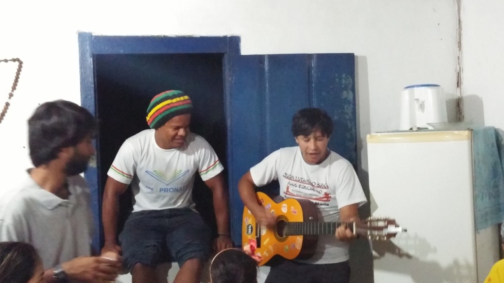
Good times at our weekly dinner with friends from the community.
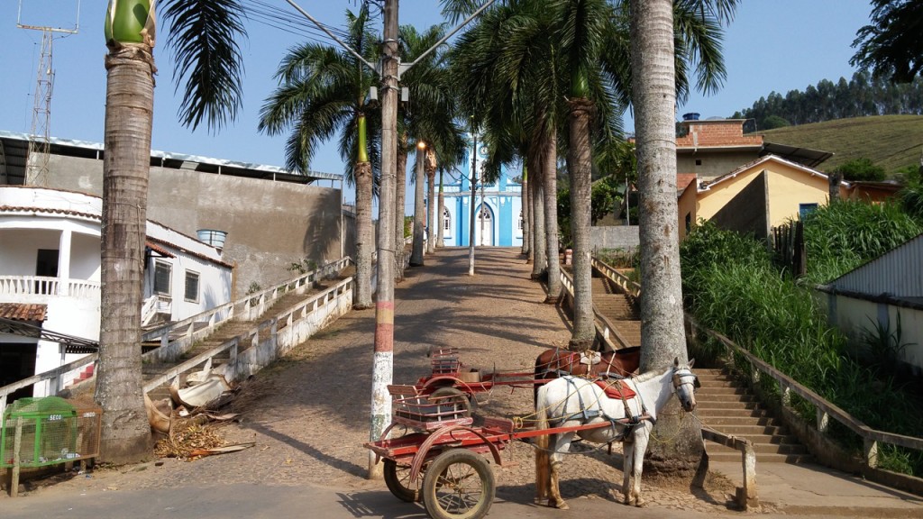
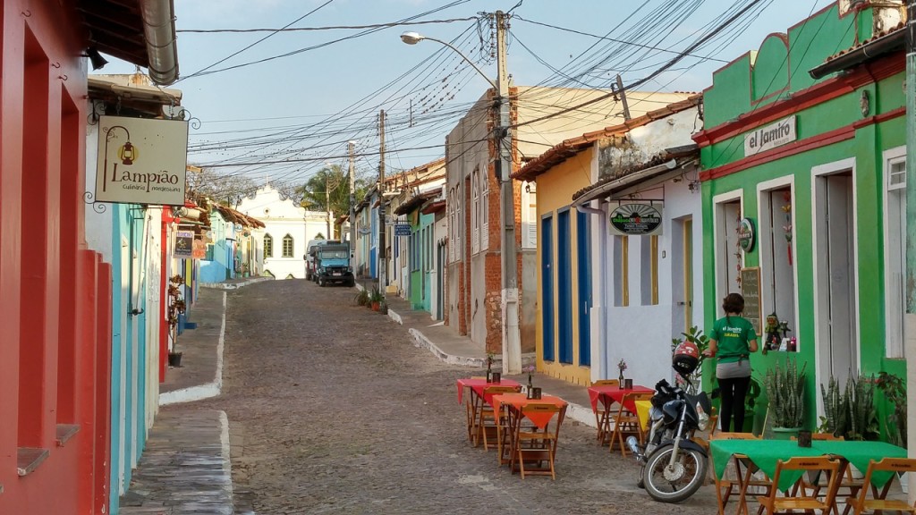
Rosário da Limeira, the closest town to the Iracambi center.
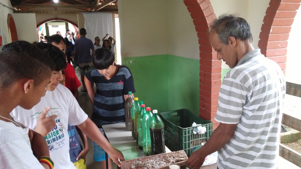
Science fair at the public school in nearby Belisário. Pavão demonstrates how to produce the organic liquid fertilizer “supermagro.”
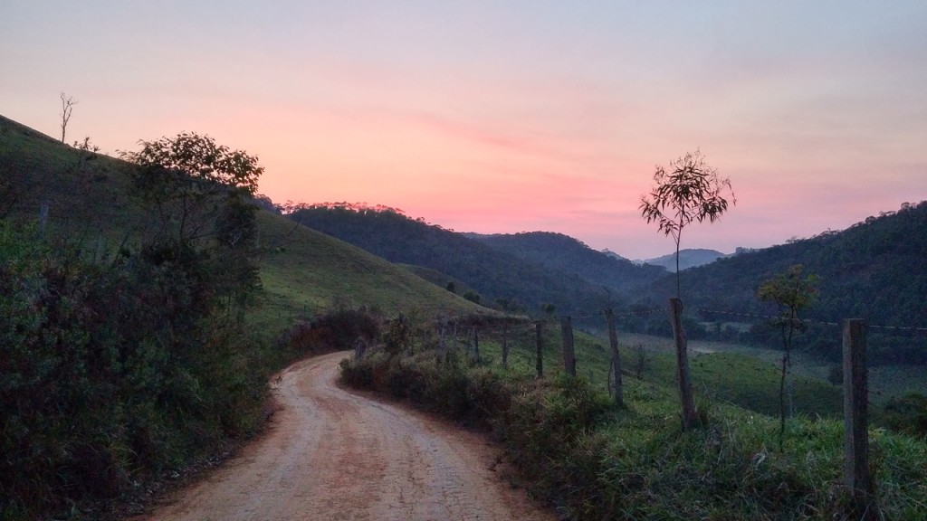
Sunrise while waiting for the school bus on the road from Iracambi to Limeira.
