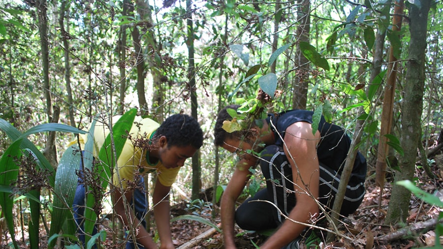
Iracambi is a small nonprofit organization concerned with the conservation and restoration of the Brazilian Atlantic rainforest, or the few fragments of it that remain, especially in the area around its location in the state of Minas Gerais. I first worked at Iracambi in 2008, returned for a short visit in 2014, then starting in October 2015 I worked as the GIS Coordinator both at the research center and remotely on various GIS projects and on administration of the GIS infrastructure, including the Iracambi ArcGIS Online website I set up in November 2015.
In the same month, we initiated the first GIS project involving data collection with the mobile app called “Collector” for ArcGIS. This project is named “Forests 4 Water” and is intended to monitor the situation of springs in the vicinity of Iracambi and in the buffer zone around the Serra do Brigadeiro state park. It is also aimed at planning for the restoration of springs that are drying up, by measuring for remediation measures such as fences to exclude cattle, and reforestation areas uphill from the springs.
Iracambi’s first public ArcGIS Online web map was published in November 2015, showing the trail system in and around the Iracambi property. In September 2016, a series of four additional public web maps were published: on the bauxite mining threat, on deforestation and priorities for reforestation, on the Forests 4 Water research project, and on the Ecosystem Monitoring research project.
In June 2016, we began using the Collector app on a second GIS project, called the Iracambi Ecosystem Monitoring project. Initially aimed at measuring water flow and water quality over time at the same monitoring locations, the project was expanded to monitor forest regeneration plots in July 2017. However, since there was no one on staff to oversee the monitoring nor consistent availability of volunteers or other personnel to collect the monitoring data, the project was shelved (removed from the public map gallery) the following year.
The public web maps were enhanced in mid-2017 with additional data layers, and with updated or more comprehensive data underlying the existing layers. Major upgrades to the Forests 4 Water web maps for both data collection and visualization by the public were released in April and December 2018. An additional minor upgrade was released in April 2022. In late 2021, the Forests 4 Water data collection transitioned from the “Collector” app to the new mobile app called “Field Maps”.
The Iracambi ArcGIS Online site and public web maps are linked from various pages of the main Iracambi website.
I resigned from my role as GIS Coordinator for Iracambi in December 2023.
